Astri is a satellite tracking and visualizer. It automatically pulls the list of all publicly tracked satellites from CelesTrak (as of writing $\sim 15,000$ satellites). Then using the Simplified General Perturbations-4 (SGP4) model developed by the United States Department of Defense (DoD) for predicting satellite position and velocity for any given point in time.
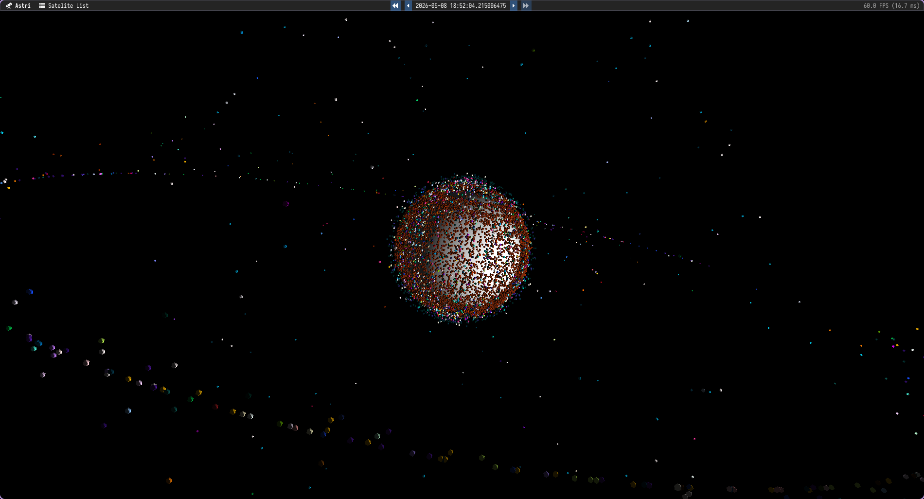
Astri also includes an interactive user interface, which renders simplified models for each of the satellites and visualizes their position relative to the earth and the other satellites. The user interface includes an explorer list for sorting and filtering the satellites and controlling which ones are displayed. And it automatically groups satellites into their constellations both in the explorer list and using the same colors to represent satellites from the same constellation.
Satellite Prediction Model
Some of the SGP4 publications provides an implementation of the algorithm in C.
However the included source code is not cross platform (it depends on Windows
specific headers) and doesn’t follow modern development standards. I have
re-implemented the SGP4 algorithm in C++ while leveraging more modern practices.
Modifying functions that took $>80$ individual variables to grouping those
variables into data structures or arrays where applicable. Renaming the
mathematically oriented variable names into more descriptive identifiers (e.g.
argpp to arg_of_periapsis) to make the code more readable.
This reimplementation of the SGP4 algorithm is available as a standalone library so that it can be reused in any context. And has minimal dependencies beyond the standard library and a logging library. It implements the required logic for parsing the TLE (Two-Line Element) sets, and initializing and calculating the satellite position and velocity for any given point in time.
Astri Application
The Astri application is also written in C++ using OpenGL for rendering the earth and satellites. ImGui is used for handling and rendering the user interface. To improve performance the satellites are handled using an Entity Component System (ECS) flecs, and is easily able to handle the ~50k satellites without dropping frames.
The application includes a basic camera for orbiting around the earth and zooming in and out. With keybindings the user can speed up or slow down the simulation, and increase or shrink the size of the satellite models to make them easier to see.
And through the builtin explorer list the user can filter and sort the satellites by their name, or id, and enable or disable the rendering of specific satellites.